California will have more rain on the way in the next few hours.
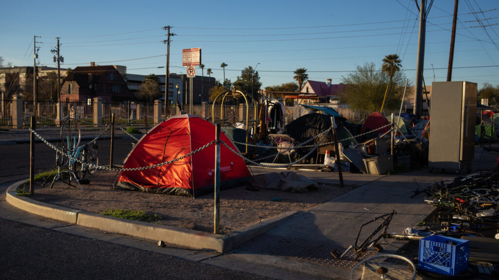
The storm for Monday-Tuesday is looking stronger than our recent storm (Jan 4-5), with potentially damaging winds and heavy rain. Remain weather aware #SoCal neighbors and stay tuned for more details as the next storm approaches. A complex of strong thunderstorms behind the main atmospheric river will make landfall along the California Coast tonight bringing torrential downpours, damaging winds, and even isolated tornadoes. Flooding in Santa Barbara central coast California.
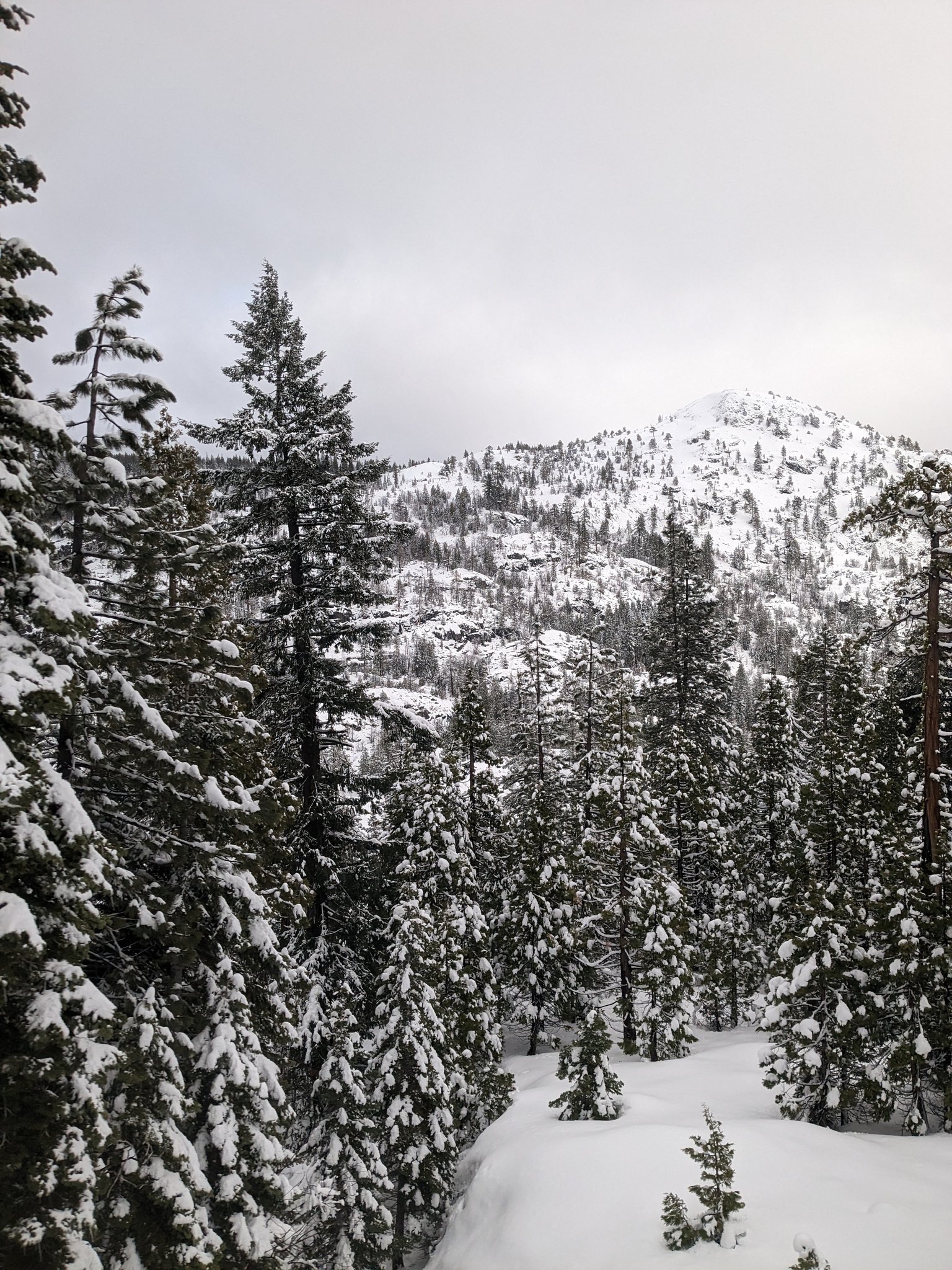
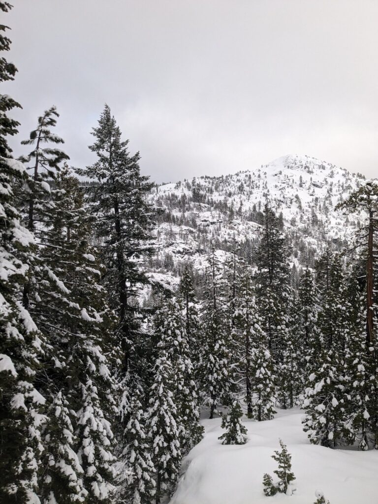
Snowfall accumulations are expected at higher elevations such as the Sequoia National Park, with up to a foot of snow possible in some spots. The rain and snow are helping to replenish the Central Valley’s aquifer. in California, could see snow totals of 2-5ft or greater, and winds could gust up to 100-160mph, equivalent to a Category 5 hurricane.
The recent snowfall in Mammoth Lakes is a welcome sight for all of California, particularly, the Central Valley, which has been facing a water crisis due to over-extraction of the aquifer. That region will receive many inches of rainfall.
In the last 100 years, the Central Valley has overdrawn it’s local aquifer by more than 122 million acre-feet, or 45 trillion gallons. As much as 80% of this water goes to agriculture, so the recent snowfall is expected to help replenish the Central Valley. This storm is a reminder of the importance of water conservation and the need to protect our water resources, but also managing it’s usage later.
On Twitter, We Can Observe Snow Enjoyed By Californians